 www.geodatenkatalog.de (S1F)
Keyword
Level 2A
2 record(s)
Provided by
Type of resources
Available actions
Topics
Keywords
Contact for the resource
Update frequencies
-
The Environmental Mapping and Analysis Program (EnMAP) is a German hyperspectral satellite mission that aims at monitoring and characterising the Earth's environment on a global scale. EnMAP measures and models key dynamic processes of Earth’s ecosystems by extracting geochemical, biochemical and biophysical parameters that provide information on the status and evolution of various terrestrial and aquatic ecosystems. The mission’s main objective is to study and decipher coupled environmental processes and to assist and promote the sustainable management of Earth’s resources. This collection includes Level 2A (atmospheric correction over land) products of the mission. For more information, please see the mission website: https://www.enmap.org/mission/
-
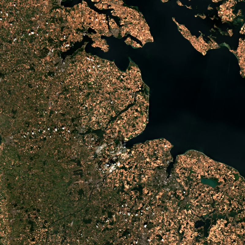
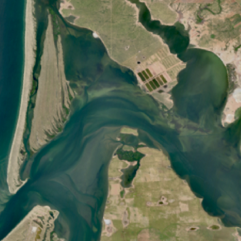
This collection contains Sentinel-2 Level 2A surface reflectances, which are computed for the country of Germany using the time-series based MAJA processor. During the Level 2A processing, the data are corrected for atmospheric effects and clouds and their shadows are detected. The MAJA L2A product is available online for the last 12 months. Further data are kept in the archive and are available upon request. Please see https://logiciels.cnes.fr/en/content/maja for additional information on the MAJA product. The MAJA product offers an alternative to the official ESA L2A product and has been processed with consideration of the characteristics of the Sentinel-2 mission (fast collection of time series, constant sensor perspective, and global coverage). Assumptions about the temporal constancy of the ground cover are taken into account for a robust detection of clouds and a more flexible determination of aerosol properties. As a result, an improved determination of the reflectance of sunlight at the earth's surface (pixel values of the multispectral image) is derived. Further Sentinel-2 Level 2A data computed using MAJA are available on the following website: https://theia.cnes.fr